
Description
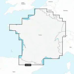
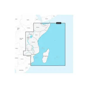
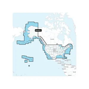
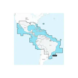
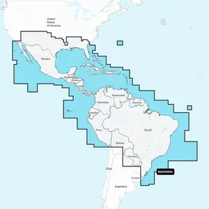
The Navionics+ mapping includes navigation information for all areas of the world. It contains all the details about ports, lights, buoys, rocky heads, isolated hazards, the nature of the seabed, and generally everything found on SHOM charts. You’ll also benefit from the exclusive high-definition bathymetry of the SonarChart™ fishing map.
Reviews
There are no reviews yet.